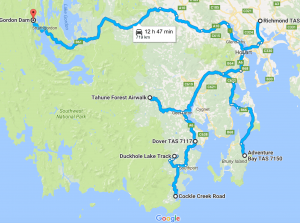
Mapped below are several regions we explored at different times during our criss-crossing of Tasmania.
It’s clear that southwest Tassie has immense wilderness that is by-and-large inaccessible except by air or on foot. We made mild attempts to reach the ends of the Tasmanian earth and surely were more successful than most visitors.
As we headed south the weather became more clement and we had an excellent day for a fast cruise along the east coast of Bruny Island. Bruny is one of those isolated spots accessible only by vehicular ferry, a 15 minute ride from “mainland” Tassie. The 100-km long island is actually made up of North and South Bruny, separated by a narrow isthmus.
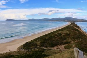
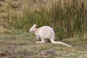
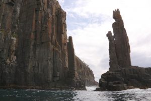
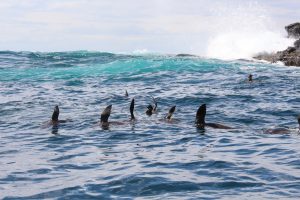
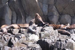
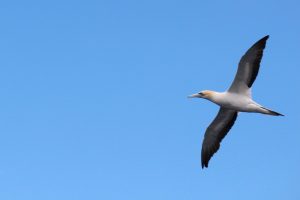
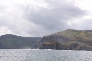
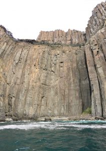
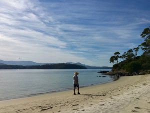
The Bruny Island Neck: to reach the top was to climb a 279-step wooden staircase.There are wallabies and there are wallabies; but a white wallaby was new to us. The rare genetic mutation of the red-necked or Bennett’s wallaby is the result of an imbalance of melanin which gives the creatures pink eyes, claws and nose.A high-speed boat cruise takes us along the east coast of Bruny Island. Pillar-like stone formations are the prominent geographic feature. If it had been high tide our boat would have shot through the middle of these pillars.Cape fur seal appear to be synchronized swimming at the south end of Bruny.These social animals bask on the rocks. Males can be 7 foot long and weigh 600 lbs., females are about half that size.The albatross is among the largest flying bird and can have a wing-span up to 3 metres.South Bruny IslandSouth BrunyThe west side of South Bruny is calm along its sandy beaches.
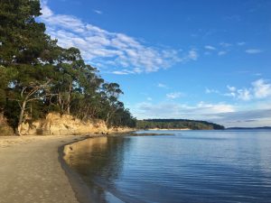
Our favourite part of Tasmania was what we like to call Far South Tasmania in Hartz Mountain National Park and Southwest National Park, part of the Tasmanian Wilderness Heritage Area. As nature and outdoor lovers, the tranquil coves and forested mountains hold a magic hard to describe. The pristine clarity of the water and the air were compelling.
An iconic Tasmanian tree, the Huon pine, is still found here despite its logging history. This tree only grows in Tassie’s wet temperate rainforests and since they are extremely slow growing, logging of the Huon was finally stopped in the 70s. According to Australian Woodwork it’s high oil content makes it impervious to insects, waterproof and easily bent and shaped, so woodworkers love it and its a favourite for boatbuilding. But rather than cut the trees, they are dredged up from flooded rivers.
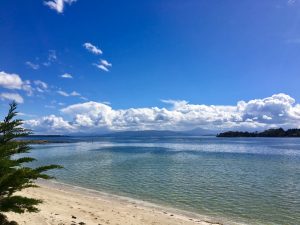
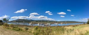
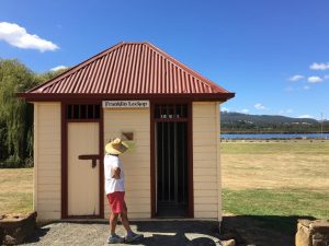
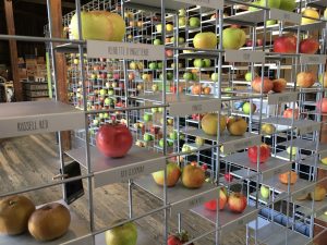
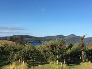
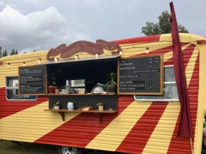
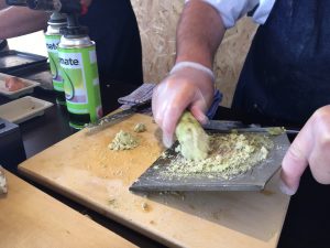
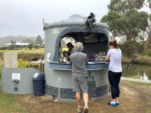
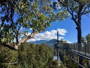
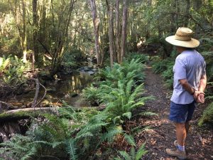
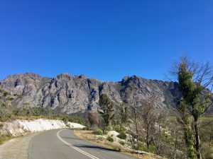
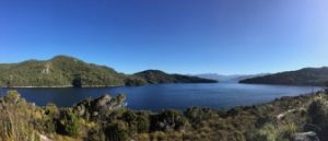
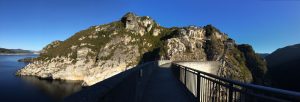
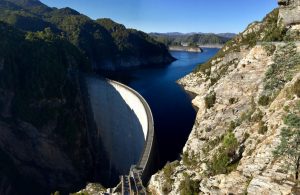
The Huon River flows along the scenic Huon Valley route to FST. In the township of Franklin, the Wooden Boat Centre is a once private commercial enterprise that was bought by the town. Now it is the only school in Australia dedicated to the craft of building handmade timber boats. Here on the Huon River sailors bring their vessels for repair or refurbishment, or just anchor in the company of like-minded lovers of wooden boats.The original gaol (jail) in Franklin.The variety of apples grown in Tassie is surprising. Democrats, Fuji, Granny Smiths, Jonathans, Red & Golden Delicious, Pink Ladies, Jonogold and Braeburns. We even tried an apple called a Snowball that had sparkling white flesh contrasting with bright red skin. Striking as it was, the taste was a disappointment.One of many apple orchards in the Huon Valley. Roadside farmstands sell bags of apples for $3. Just leave the cash in the secure tin can.Every autumn the Taste of Huonville event takes place to showcase the areas harvest. This mobile food van was clever and offered up some unusual fare.Wasabi in the making.Dover is one of a handful of towns in these parts and nothing special. Except….it is situated on a drop-dead beautiful bay that was so calm every morning it was hard to fathom this was actually an ocean. This is a stellar spot from which to explore Far South Tassie and we ended up staying nearly a week.It was humorous to hear many Hobartians warn us that food was limited in FST. True, Dover had only one small grocery, and true, it was the only one in the southern 70 kms of Tas. But there were lots of farm stands along all the roads offering fruits and veg so food wasn’t really scarce at all. We had no trouble surviving the week without any restaurants.Cockle Creek is as far south as one can drive. The road is unpaved the last 20 kms and this seems to discourage all but the most intrepid from making the journey. Those who venture discover that the scenery along the coast will take your breath away.There are a few tracks that beckoned the walker in us and we followed all but the longest one that would have taken us to the southern tip of the state. The walk to Fischers Point is less rugged at low tide and offers exceptional views from the well-protected Recherche Bay around to the open sea where landfall is not happening until Antarctica.Rocket Coffee was the only game in town in Southport, except for the pub, of course.Tahune Air Walk is 620 metres of elevated walkway through the treetops of a wet eucalypt forest. The cantilevered section shown above is 48 metres above the Huon River. This forest is home to the tallest flowering plant in the world, the Eucalyptusregnans aka mountain ash.An exciting yacht race ensued in Kangaroo Bay on the Huon River.The trail to Duckhole Lake was one of the 60 Best Walks in Tas. It was a nightmare finding the start of the track along unsealed roads that narrowed to one lane in many areas. GPS service was spotty and when we finally stumbled upon the trailhead we were not where we expected. We can’t imagine this trail gets much use, we couldn’t even circumnavigate the lake the path was that overgrown. It was worth the effort to find it though.We were keen to travel to the “end of the road” wherever possible in Tasmania. A 100 km drive through the wilderness passes the Sentinel Range looking impenetrable, but softening into forested hills as it approaches the Gordon River dam.Lake Pedder is part of the Gordon Dam river system.At the Gordon River Dam there wasn’t a soul for miles. The air was breathless and the water rippleless. I discovered the long staircase to the dam wall was accessible so I couldn’t resist the walk along it. Oddly eerie but quite majestic.Gordon River dam
12 thoughts on “Glorious Tasmania: Bruny Island & Far South Tasmania”
Stunning photos and compelling narrative!
You should be published.
Mary, another highly informative and entertaining post. The pillars that “stand guard” along the Bruny coastline look like sentinels. And what a spectacular hiking destination … Thanks, as always!
Thanks Mary,
Keeping the dream alive. You and Joe have captured the essence and beauty of Tas. and I have loved travelling vicariously with you all the way.
x
We always enjoy your photos and narrative. Thanks for sharing you adventures. While not as exotic as Tasmania, we are heading to Alberta, Yukon Territory and British Columbia later this month… Susie and Gary
You do such a nice job of capturing the “essence” of wherever you happen to be. Love your travelogue, and are reminded of how lovely your world down under can be!
I meant: Your travelogue and photos remind us of how lovely your world down under can be!
(Never leave a comment right after you awake in the morning!) We just arrived home in Wabeno WI yesterday. I’m still not “with it”.
12 thoughts on “Glorious Tasmania: Bruny Island & Far South Tasmania”
Stunning photos and compelling narrative!
You should be published.
Beautifully captured, Mary. I am so envious of your adventure together! Also SO happy we may see you this summer! XO
Thanks for another wonderful travel log! Next week, Rick and I are off to St. Croix (where Susie & Crystal live) and then on to Puerto Rico.
Mary, another highly informative and entertaining post. The pillars that “stand guard” along the Bruny coastline look like sentinels. And what a spectacular hiking destination … Thanks, as always!
Absolutely stunning!!
What a beautiful place. Great photos and running commentary as usual!!
Thanks Mary,
Keeping the dream alive. You and Joe have captured the essence and beauty of Tas. and I have loved travelling vicariously with you all the way.
x
Great job on the photos, Mar. Love learning about the animals of the area, too.
Absolutely stunning scenery, Mary. I’m so glad you’re sharing it!
We always enjoy your photos and narrative. Thanks for sharing you adventures. While not as exotic as Tasmania, we are heading to Alberta, Yukon Territory and British Columbia later this month… Susie and Gary
Again, your astounding photos capture such awesome places on God’s green earth. Thanks for sharing you travels and stories.
You do such a nice job of capturing the “essence” of wherever you happen to be. Love your travelogue, and are reminded of how lovely your world down under can be!
I meant: Your travelogue and photos remind us of how lovely your world down under can be!
(Never leave a comment right after you awake in the morning!) We just arrived home in Wabeno WI yesterday. I’m still not “with it”.